From Lokev to Veliko Gradišče
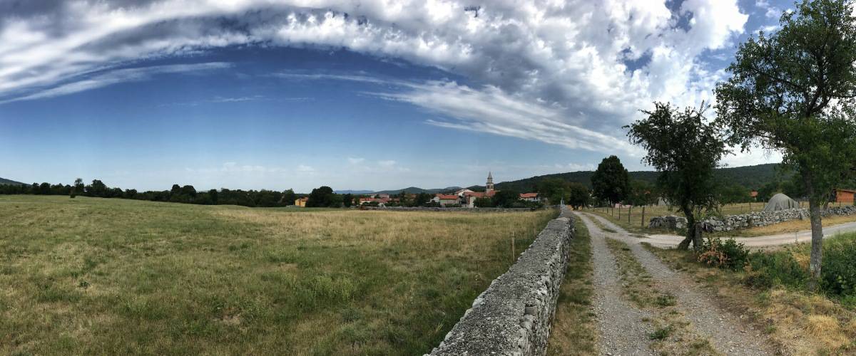
Today is the last stage of our circular hike and also one of the scenic highlights: The gorge in the Val Rosandra. To do this, however, we must first return to Italy and leave Lokev via the path opposite the restaurant Gostilna Muha in the direction of the south (waypoint 1).
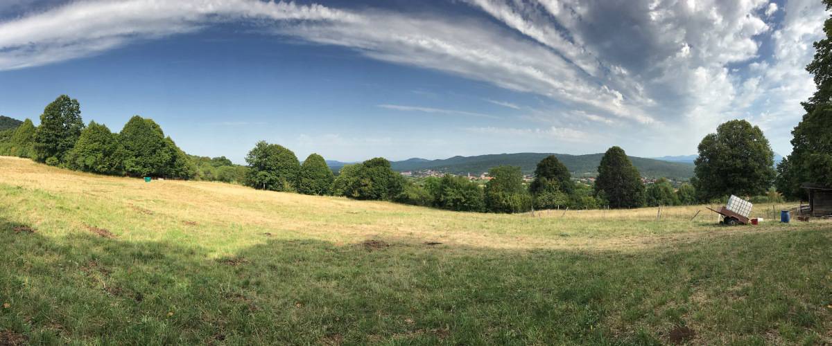
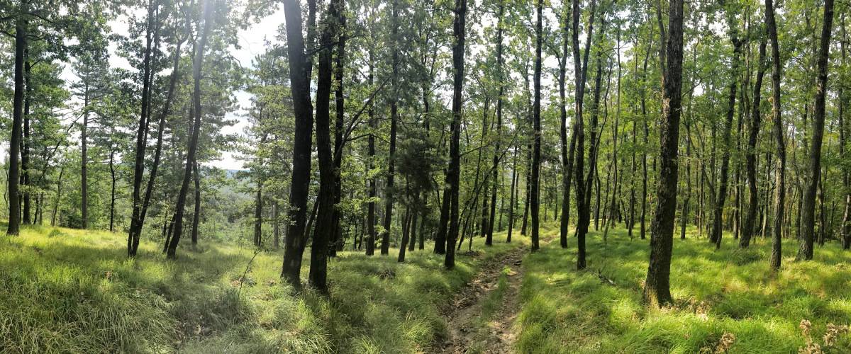
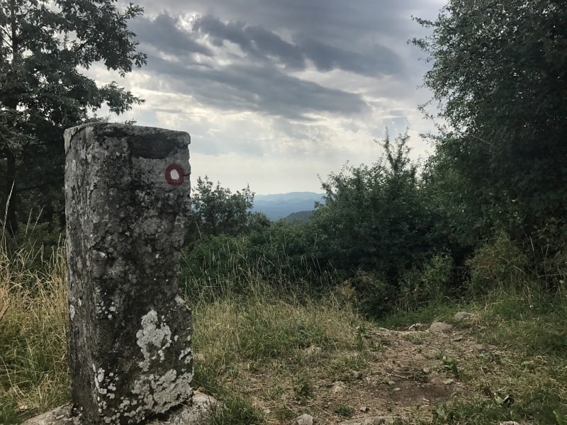
We walk uphill over fields for a bit, cross a small village belonging to Lokev and then walk in the forest to the top of the Veliko Gradišče. This is more hill than mountain, but at 742 meters it is still the highest point of our five stages. Don't worry: it will be even more spectacular today, but only 300 meters lower!
Facts about stage 5
Route: 14,5 km
Altitude meters: 425 m ascent / 800 m descent
Duration: 6:00h (without breaks)
See also Elevation profile
GPS route download for stage 5 (GPX format)
Refreshment stops along the way
Hotel-restaurant on the thoroughfare in Pesek, however, much cozier is the Locanda Mario in Draga
Back to Italy
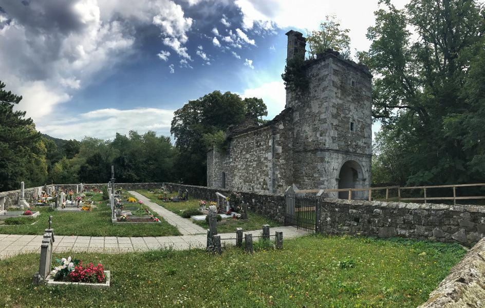
The descent from the Veliko Gradišče runs first in a beautiful deciduous forest. Then we reach a forest road that leads us past a small cemetery with an abandoned chapel. From here on we are again on the Via-Alpina (which runs here together with the Alpe-Adria-Trail). After a few hairpin bends we keep to the right on the Via-Alpina (the Alpe-Adria-Trail would go to the left, but in our opinion it is less beautiful in the further course) and enter Italian soil again (waypoint 3). We cross Pesek, a place that consists virtually only of a large thoroughfare and the hotel of the same name. Directly behind the hotel we turn left (waypoint 4). We descend until we cross twice in succession a former railroad line, now converted into a bicycle route, which runs through the valley in a wide curve.
In the small place Draga gives with the Locanda Mario an opportunity for a rest with lunch (waypoint 5).
Above the Val Rosandra
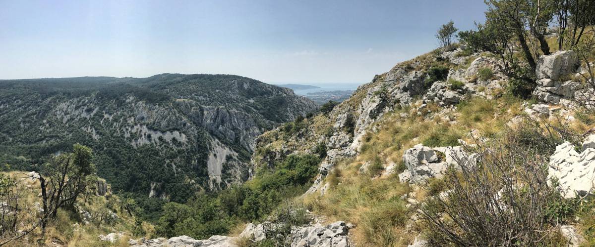
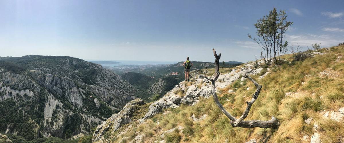
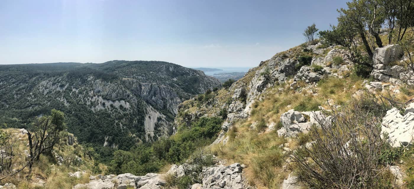
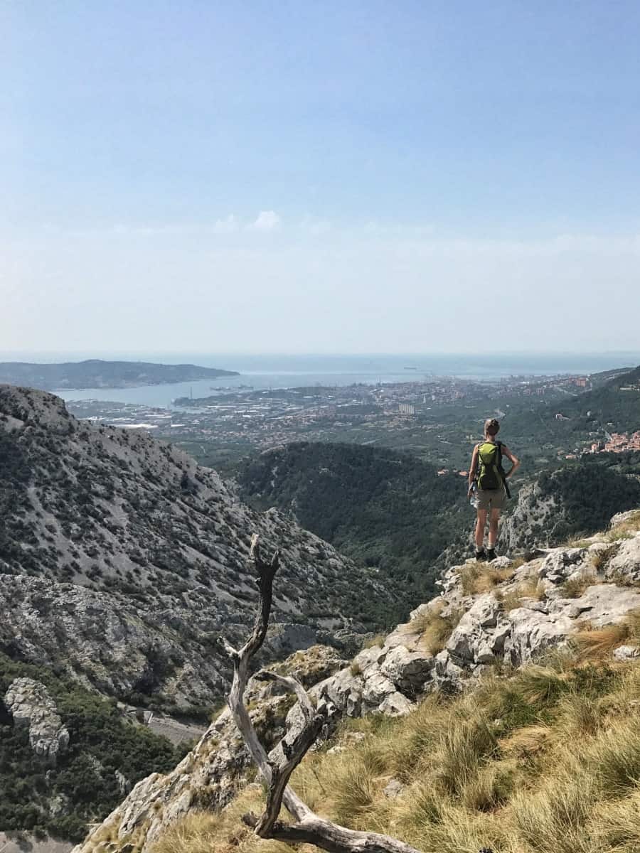
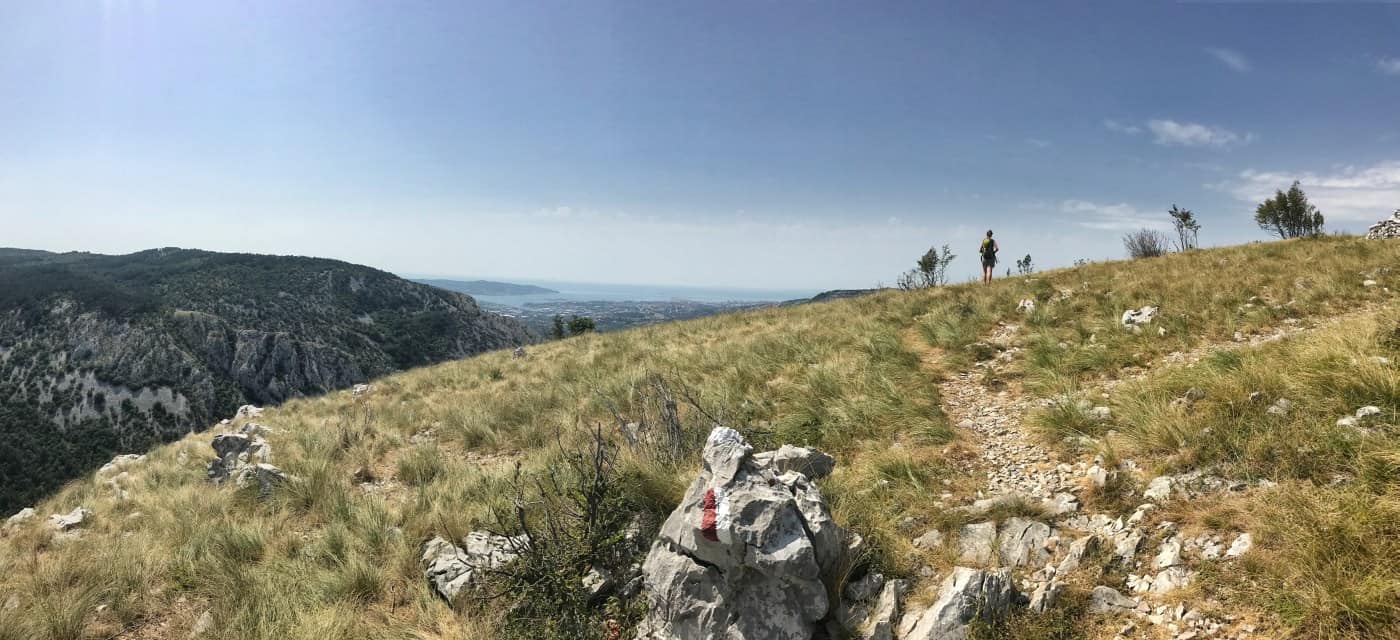
In Draga, we pass Locanda Mario on the right and get onto a narrow hiking trail. From waypoint 6 the hike suddenly becomes alpine: on the Via Alpina we climb along the right rock edge of the Val Rosandra. With every step and with every rock climbed, the view becomes more spectacular. At the top we get the full contrast: below us the karstic rocky gorge of Val Rosandra, in front of us the cranes and port facilities and in addition the panorama of the Gulf of Trieste! If not everyone succumbs as much as I to the industrial romantic charm of this sight: I readily admit that, as a Hamburg resident by choice, I may have a not so rational inclination towards the subject of the port...
From the plateau down into the gorge
So after indulging in the spectacular view for quite a while, we hike on the plateau always along the slope until we reach San Lorenzo. At the small church (waypoint 7) we turn left, cross the village and leave it on the small through road. Shortly after the town exit sign there is a small parking lot (waypoint 8), where we turn left. The parking lot is mainly intended for visitors to easily get to the nearby viewing platform. However, our path branches off to the right already before the viewing platform (waypoint 9). The turnoff to the steep descent is easy to miss. Whoever arrives at the small viewing platform has walked too far.
From now on it is steep to very steep downhill until we cross the small stream that is responsible for the deep gorge of Val Rosandra and at waypoint 10 before the Rifugio Mario Premuda stand. The hut, run by the Italian Alpine Club, is a meeting point for many climbers and has a very special record: at only 82 meters above sea level, it is the lowest Alpine Club hut on the Italian mainland.
From the Rifugio we reach in a few minutes the village of Bagnoli della Rosandra. From there there is the possibility, by bus back to Trieste to drive. This would also be our recommendation.
Alternative: Instead, on our hiking tour, we stopped in Bagnoli della Rosandra stayed overnight (accommodation: Residence Bleu) and the next day we still undertook the official final stage of the Alpe Adria Trail. This ends in Muggia, from where you can take the ferry to Trieste. Actually a nice thought, only: the trail leads mostly past industrial areas and partly through them. This is not very attractive and not a nice ending. Therefore, we decided not to explicitly recommend this "sixth stage" on our website. Instead, we advise to consider stage 5 as the crowning conclusion of this small long-distance hike.

