From Sgonico to Repen via Rupinpiccolo
The destination of today's hike is Opicina, the beautiful and lively village just above Trieste. On the way there we will be mainly on smaller, regional trails. These are partly red-white, partly green-yellow and partly not marked at all. For orientation we therefore recommend a GPS device or a GPS app such as ViewRanger in combination with our Route downloads.
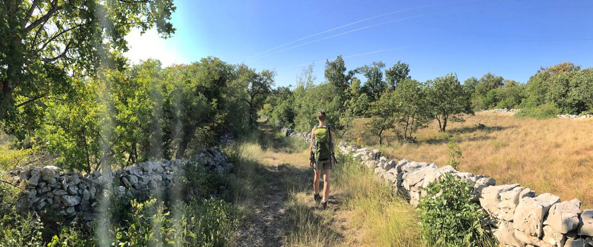
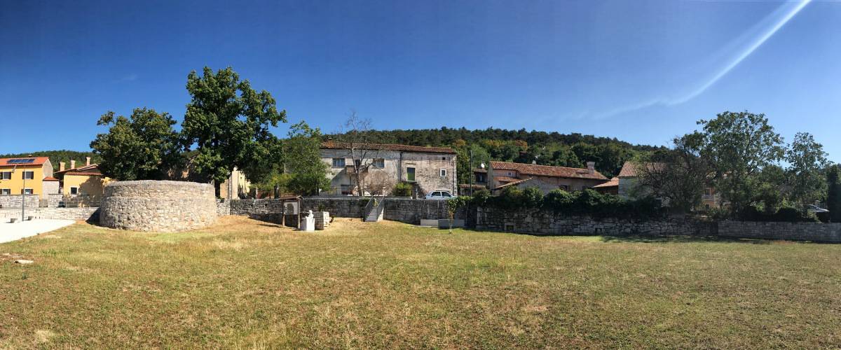
In Sgonico we turn opposite the Trattoria Gostilna Gustin into the road that passes the post office, the town hall and the bank branch and that further on leads as SP8 to Rupinpiccolo/Repen. We want to go there, but since walking along the main road is less fun, we turn right after a few meters (waypoint 1) and leave Sgonico along a path that shortly after becomes a dirt road. In a large bend to the left we walk through an idyllic landscape back to the main road. There we turn right (waypoint 2), for lack of alternatives we walk along the main road to the neighboring village of Rupinpiccolo and from there we continue until just before Repen. At waypoint 3 we turn left onto a trail marked with green arrows on a yellow background (trail "Gemina") that leads us to the center of Repen. In Repen there is a small supermarket and a hotel with restaurant and bar (waypoint 4, about 2:00h from Sgonico).
Facts about stage 3
Route: 16,9 km
Altitude meters: 340 m ascent / 395 m descent
Duration: 6:00h (without breaks)
See also Elevation profile
GPS route download for stage 3 (GPX format)
Refreshment stops along the way
Supermarket and hotel-restaurant in Repen, Several restaurants around the Grotta Gigante.
Detour to the Santuario di Monrupino
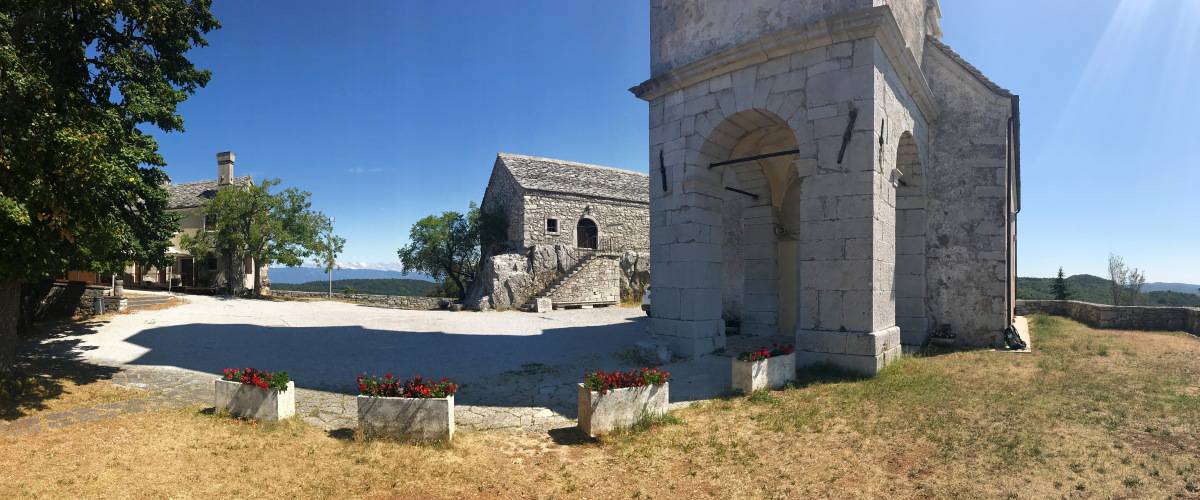
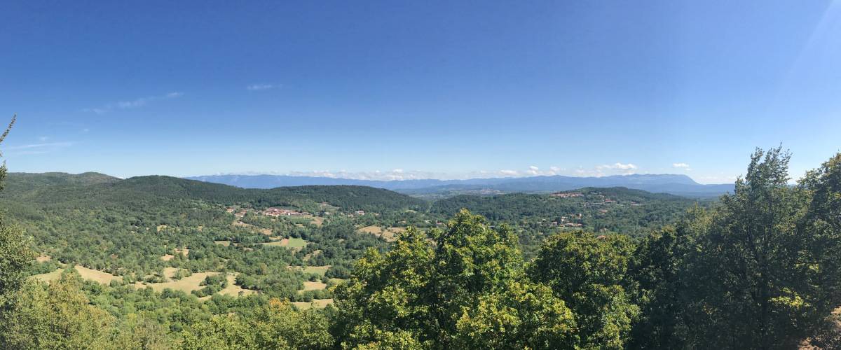
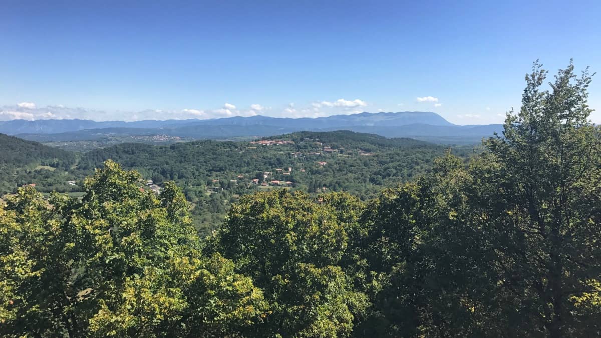
We leave Repen heading east on a paved road and walk through the woods. Soon the small hill of the Santuario di Monrupino comes into view, so shortly after we turn left (waypoint 5) and climb the viewpoint. The panoramic view is difficult to capture photographically, but in any case it is worth the detour. From here you can easily see the Monte Grisa Sanctuary, which catches your eye because of its unusual pyramid shape, and below which we hiked on stage 1.
Descent to the Grotta Gigante
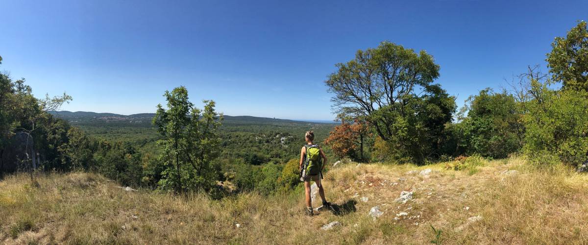
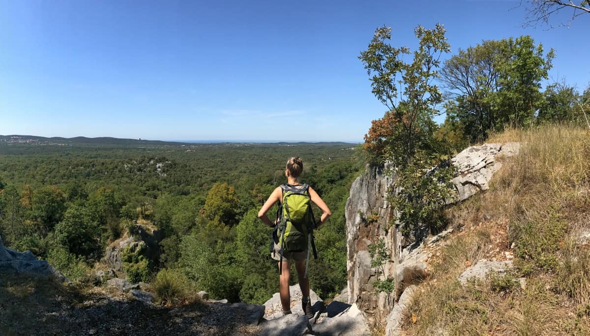
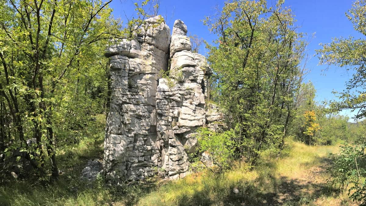
We leave the viewing hill in a southerly direction and enter a deciduous forest interspersed with karstic boulders at waypoint 7. The trail passes a beautiful viewpoint on the cliff edge. Shortly after, we meet a narrow tarred path (waypoint 8). Here we turn left and immediately right again (waypoint 9).
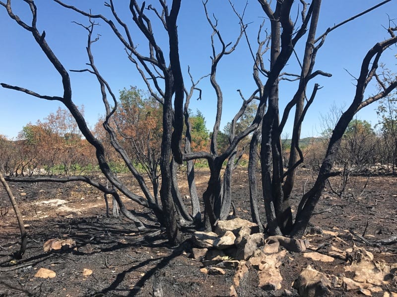
We walk slowly downhill through beautiful deciduous forest, briefly turning left at waypoint 10, then right again (waypoint 11). We pass the remains of a forest fire and meet the Strada Provinciale SP29B at waypoint 12. Here we have to make a choice: Either we hike directly to the day's destination Opicina (then sharp left before the paved road), or we can visit the cave known as the "Giant Cave of Trieste". Grotta Gigante in the town of the same name. According to the Guinness Book of Records, it is the largest show cave in the world. Those who want to get to know the Trieste Karst from below should, however, find out in advance about the visit times (www.grottagigante.it), as the visit is only possible with a guided tour (usually every hour on the hour, admission 12€, as of 2018). Beautiful 3D impressions from the interior of the cave can be found among others at Google Maps.
In the surroundings of the Grotta Gigante there are also several restaurants: Directly at the cave is the Dom Bistrò - in the meantime, the operator has changed there, the offer seems to have become much better since then. As an alternative, we were then still the Ristorante Salvia & Rosmarino called in the fitness and wellness center of the same name (Monday off).
From the Grotta Gigante to Opicina
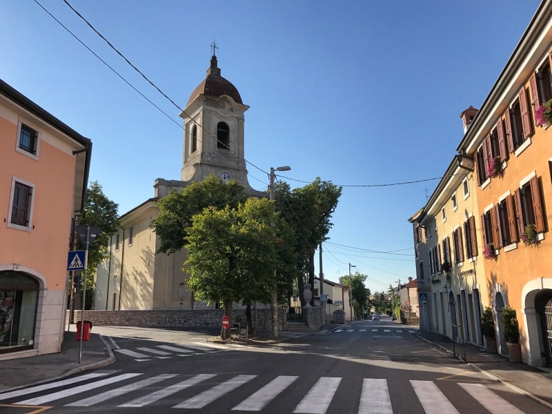
From waypoint 12 we descend slightly without much effort until we reach the highway, under which we hike. Soon we come to Opicina (partly also Villa Opicina called), where there is a pleasant buzz of activity. After the relative solitude of the rural Karst, here again we have a wide choice of cafes, bars and restaurants.

