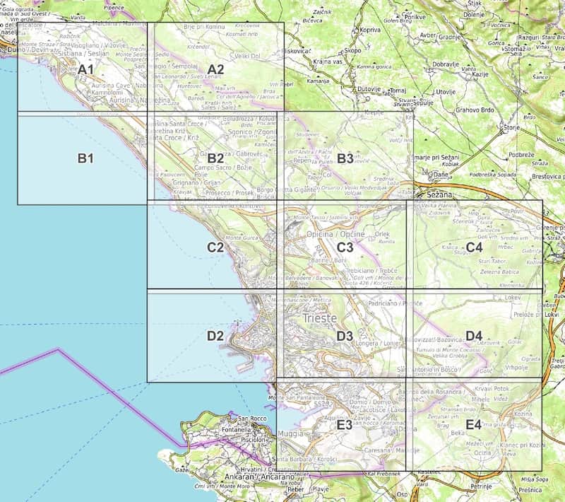
We offer all routes recommended on this website as a free download in GPX file format. The GPX file format is a standard file format for route information and waypoints. It can be opened e.g. with the smartphone map app Outdooractive recommended by us (outdooractive.com/mobile-app.html). This free app is available for all major smartphones (including Android and iOS).
Tip: Due to numerous requests, we have created a guide around the Outdooractive app. You can find it here: hikingdeluxe.com/outdooractive/.
GPS route download - stage 1
GPX file download for the section "Trieste - Sistiana" (stage 1)
GPS route download - stage 2
GPX file download for the section "Sistiana - Sgonico" (stage 2)
GPS route download - stage 3
GPX file download for the section "Sgonico - Opicina" (stage 3)
GPS route download - stage 4
GPX file download for the section "Opicina - Lokev (Slovenia)" (stage 4)
GPS route download - stage 5
GPX file download for the section "Lokev (Slovenia) - Bagnoli della Rosandra" (stage 5)


