Stage 1: Directions
Starting point: Obelisk of Opicina
The starting point of stage 1 is about 3 km as the crow flies from the city center at an altitude of almost 350 meters above Trieste at the Obelisks from Opicina. Here is a stop of the historic tramway line 2. The tramway, known as the Streetcar de Opcina known streetcar is a rarity among historical streetcars, as it is pushed by a funicular on the steepest part of the route. Unfortunately, the operation of the streetcar is suspended since 2016 due to an accident, so the route is served by buses.
Therefore, we take the bus to the starting point of the hike. Bus line 2 runs almost exactly the same route as streetcar line no. 2. Current departure times and a route overview can be found e.g. at moovit.com. More info about public transport in and around Trieste we have here compiled.
Facts about stage 1
Route: 18,5km
Altitude meters: 290 m ascent / 555 m descent
Duration: 6:45h (without breaks)
See also Elevation profile
GPS route download for stage 1 (GPX format)
Refreshment stops along the way
Supermarket and restaurants in Santa Croce
On the Strada Napoleonica to Prosecco/Contovello
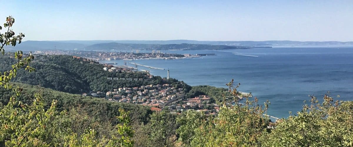
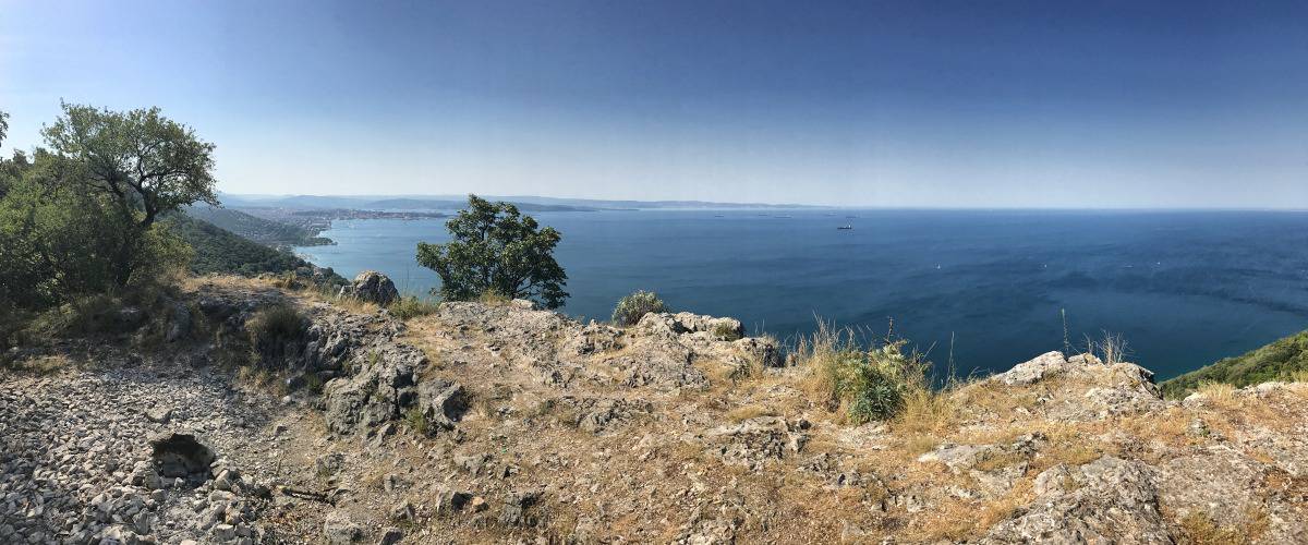
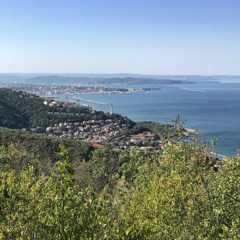
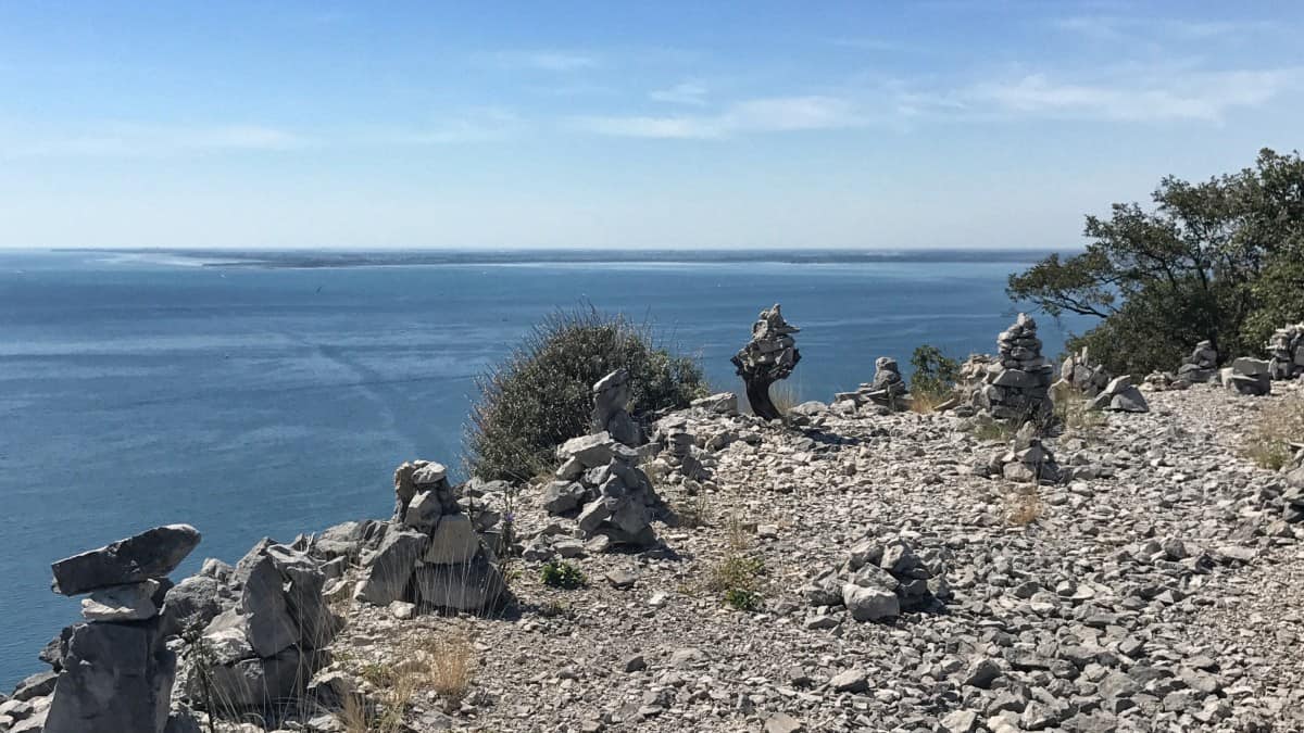
We start our hike on the Strada Napoleonica, a very popular panoramic walk that begins directly in front of the obelisk of Opicina and from here leads north towards Prosecco/Contovello. The walk is very well developed for the first kilometers, level to slightly sloping and very panoramic! After about 3.5 km we reach a prominent point where the trail joins an asphalt road that has been partially cut through the rock. Shortly after this point, it is a good idea to leave the wide path for a detour to the left to the scenic ledge (waypoint 1). Continuing along the path, we pass a very conspicuous old people's home and cross the village and reach our first intermediate destination, the village of Contovello (waypoint 2, from the start about 1:15h).
From Contovello to Santa Croce
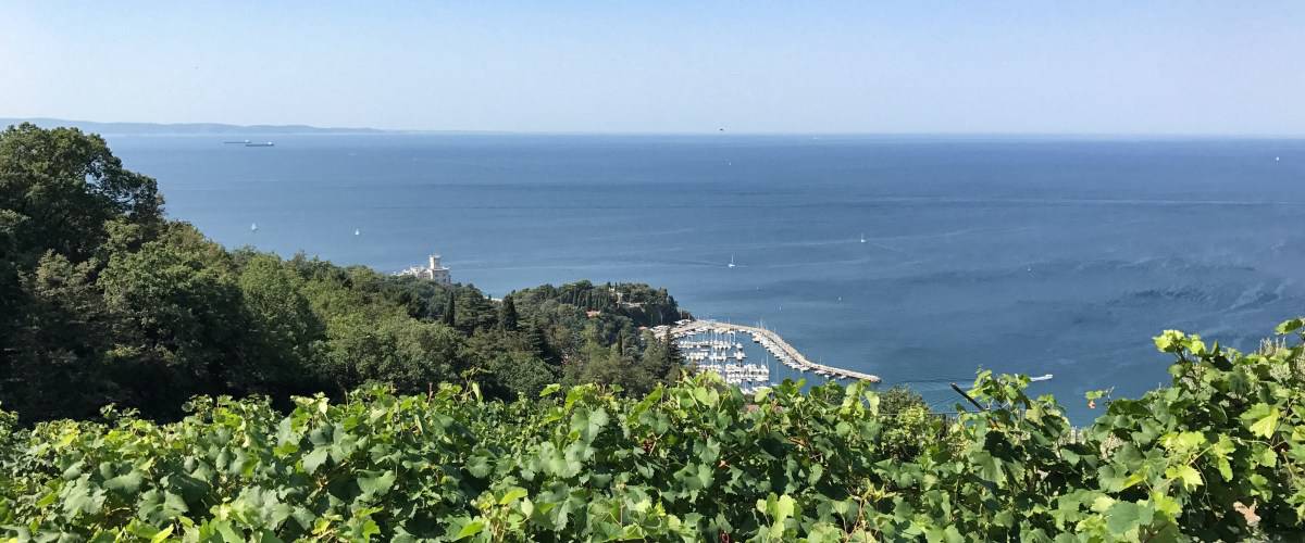
In Contovello we meet the thoroughfare, turn right here, crossing the road in the process and leaving it again to the left after a few meters. At this point (Waypoint 2) we leave the Alpe Adria Trail and turn right into a narrow alley that shortly becomes a hiking trail and leads to the small pond of Contovello. This offers itself with table and bench for a short rest. We now follow the asphalt road downhill, but shortly after we leave it to the right (waypoint 3), then we take the steps uphill (waypoint 4) and weave our way past vineyards (waypoint 5) through the varied landscape. Below us we recognize the white Castello di Miramare and the small port of Grignano.
At waypoint 6 we climb the first steps of a striking rock staircase and at the upper landing (waypoint 7), pay attention to the easily overlooked path that turns left here and leads us uphill into the forest (waypoint 8). In the forest we meet the Alpe-Adria-Trail again (waypoint 9), which we follow to the left for a short distance. At the following trail T-junction (waypoint 10), however, we turn left onto Via Alpina, since the Alpe-Adria-Trail leads here to the right inland, but we always want to go north along the karst edge.
At waypoint 11 we reach a viewing platform, which reminds us somewhat of a 5-meter diving board in an outdoor swimming pool. Shortly later we reach Santa Croce (Waypoint 12), a small town with a supermarket and several places to stop (about 2:00h walking time from Contovello).
From Santa Croce to Sistiana
After a lunch break in Santa Croce, the route first runs for several kilometers through the Bosco Babiza, the wooded area between Santa Croce and Aurisina. There, after about 2.5 km, we meet a watchtower (Vedetta Liburnia), which offers a beautiful view of the Gulf of Trieste.
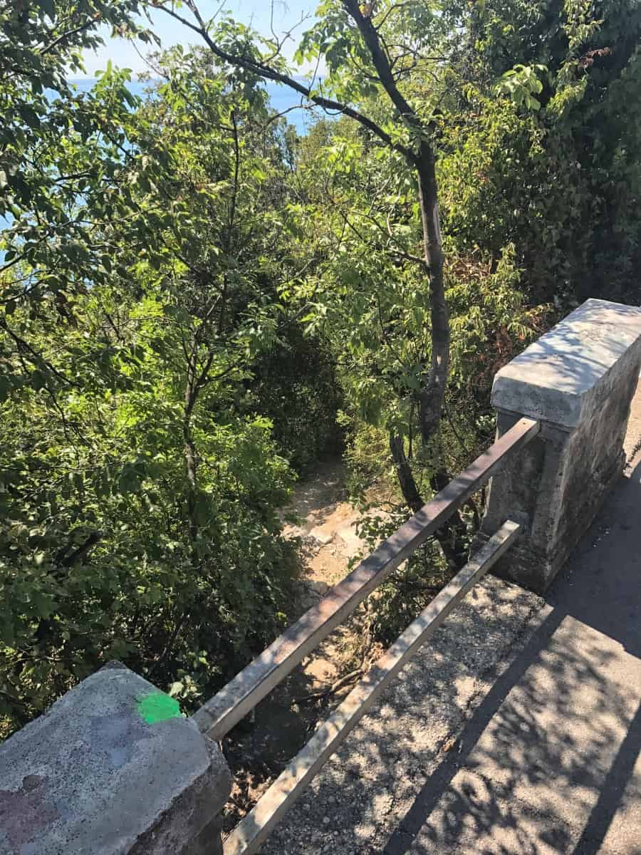
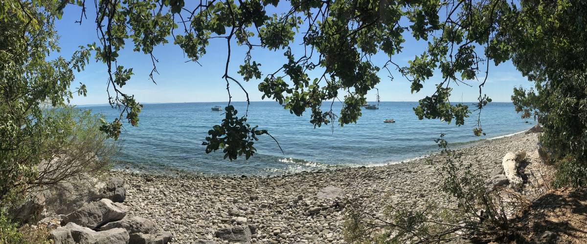
The Via Alpina then leads us north parallel to the railroad line until we pass the railroad line at waypoint 13 and then walk along the edge of the karst. Just before Sistiana we then descend to the coastal road. Here there is the possibility to make a short detour to the beach (waypoint 14). The entrance to the path to the pebble cove is somewhat hidden and you have to climb over the balustrade to get there.
The last two kilometers to the finish of stage 1 we walk along the coastal road. The walking time from Santa Croce to Sistiana is about 3:30h (without a break in the bay).
Stage 1: Accommodation in Sistiana
Hotel Eden in Sistiana
In Sistiana we can visit the Hotel Eden recommend: The rooms may seem a bit sterile at first glance, but the reception at the hotel was very warm and the breakfast buffet very varied and delicious. This is probably not least due to the fact that the hotel also operates a restaurant on the first floor, which is dedicated to upscale cuisine.
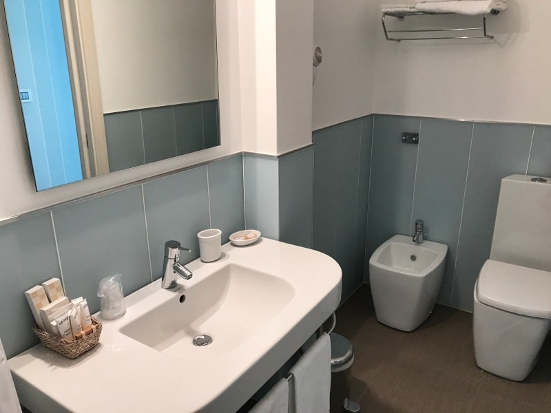
The rooms of the 3-star hotel are clean and well-kept, the bathrooms almost like new. A special accent is created by the eye-catching bedside lamps and the wallpaper, which is either striped lengthwise or checkered, depending on the room. Only the location on the main road may be a disadvantage. If you like to sleep with an open window at night and get a room facing the main road, you might want to leave the window closed and turn the air conditioning up a bit. The air conditioning works perfectly in the Hotel Eden.

